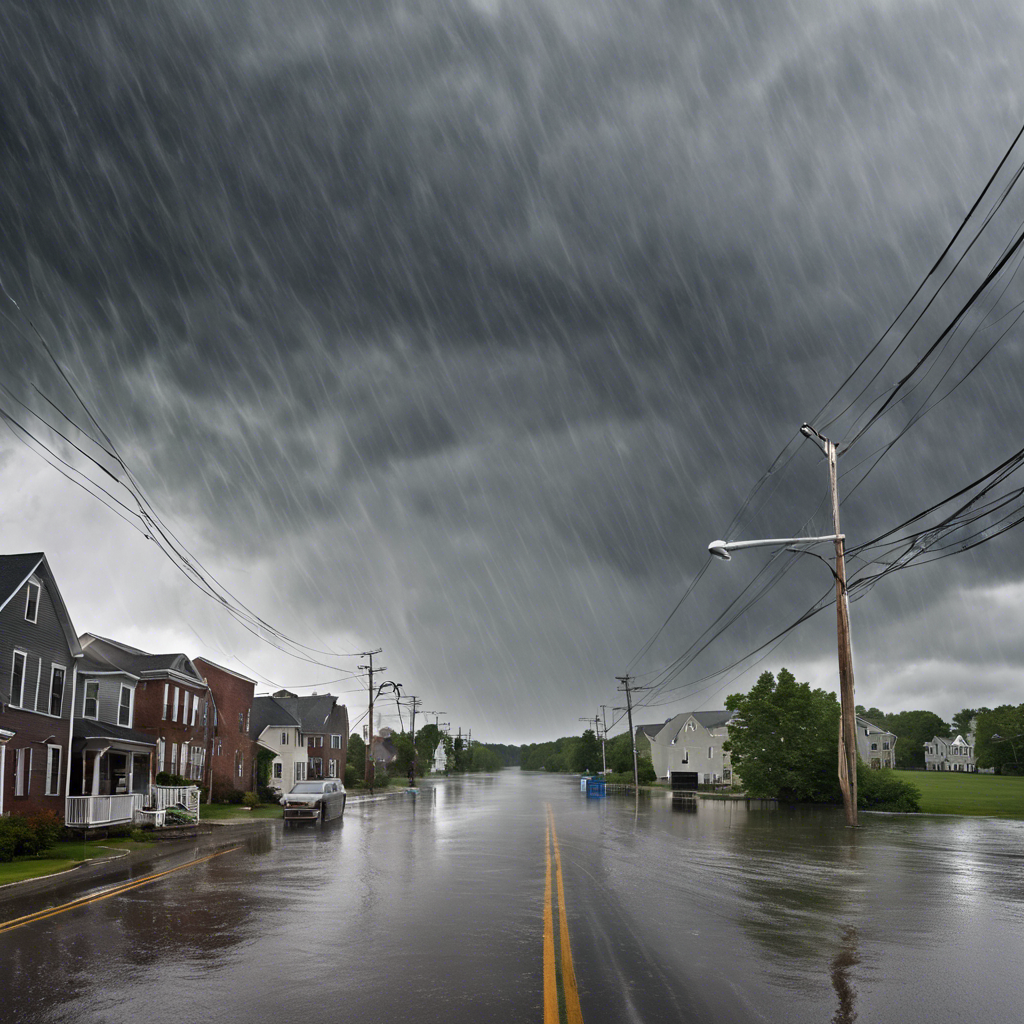
Northeast Braces for Heavy Rainfall and Strong Winds: Flood Watches in Effect

A powerful storm system is set to bring heavy rainfall and strong winds to the Northeast region, prompting flood watches and concerns for potential flooding.
As the Northeast prepares for a significant storm system, forecasters are warning of heavy rainfall and strong winds that could lead to potential flooding. The region is under flood watches from Sunday afternoon through late Monday afternoon, with rainfall totals expected to reach as high as 4.5 inches. Along with the heavy rain, wind gusts of over 50 mph are anticipated at the Shore and 40 mph on the mainland. This weather event is attributed to a surge of moisture from the Gulf of Mexico, creating what meteorologists describe as an “atmospheric river.” While the storm is not expected to bring heavy showers and storms, it will provide a widespread soaking for the entire region.
Potential Impacts on Rivers and Streams
The heavy rainfall is expected to have an impact on the headwaters of the Schuylkill and Delaware Rivers. While the rivers are not forecast to reach flood stage, there is a possibility of flashier streams, such as the Brandywine and Neshaminy Creeks, overflowing their banks. Meteorologists at the National Weather Service Office in Mount Holly are closely monitoring the situation and advising residents to stay updated on any flood warnings or advisories.
Coastal Concerns and Wind Effects
While major coastal flooding is not forecasted, the combination of strong south winds and the new moon’s influence on tides could result in minor flooding, particularly in the back bays. The winds are expected to gust up to 50 mph along the coast and 40 mph inland. These south winds will also bring warmer temperatures, with highs reaching the 60s on Sunday. However, the fact that the winds won’t be blowing onshore should help mitigate the threat of coastal flooding. Nonetheless, some power outages may occur, although the shedding of leaves from trees should minimize the impact.
Holiday Decorations and Precautions
As the storm brings strong winds, there are concerns for holiday decorations. AccuWeather’s senior meteorologist, Bill Deger, advises residents to secure any outdoor decorations to prevent damage. With the holiday season in full swing, it is important to take precautions to ensure the safety of decorations and minimize potential hazards.
Timing and Forecast
The heaviest rainfall is expected by midafternoon on Sunday and will continue into the evening. The flood potential will depend on how quickly the heaviest rain falls. The rains are expected to taper off by Monday afternoon, followed by a December-like cooldown with daily highs in the 40s from Tuesday through Friday. On a positive note, the skies should clear Wednesday night into Thursday morning, providing an opportunity to witness the annual Geminid meteor showers.
Conclusion:
As the Northeast braces for heavy rainfall and strong winds, flood watches are in effect across the region. The storm system, fueled by moisture from the Gulf of Mexico, is expected to bring widespread soaking to the area. While major coastal flooding is not anticipated, there is a potential for minor flooding, especially in the back bays. Residents are advised to stay updated on flood warnings and advisories and take necessary precautions to secure holiday decorations. The storm is forecasted to subside by Monday afternoon, followed by a cooler December-like weather pattern. Despite the inclement weather, there is a silver lining as the skies are expected to clear for the annual Geminid meteor showers.

